Share on


Waterfall Gully to Mount Lofty Summit


The Waterfall Gully to Mount Lofty Summit walk is Adelaide's definitive hike, the trail that every local has climbed as a personal fitness rite of passage and every visitor is told to do first, climbing 3.8 kilometres through Cleland National Park from the base of First Creek to the highest accessible point in the Mount Lofty Ranges at 710 metres above sea level, approximately 8 kilometres east of the Adelaide CBD. In Aboriginal mythology, Waterfall Gully and the surrounding Mount Lofty Ranges are part of the story of the ancestor-creator Nganno, who was wounded in a battle and lay down to die, forming the Mount Lofty Ranges. The peaks of Mount Lofty and Mount Bonython were formed by Nganno's ears, and the region was called Yur-e-billa, meaning the place of the ears. The name of the Greater Mount Lofty Parklands, Yurrebilla, comes from this term. The Peramangk Aboriginal people inhabited the tree-filled gullies and park-like tablelands of the eastern Adelaide Hills long before European settlement, enjoying an unending supply of edible plants and grubs, together with marsupials to hunt, with seasonal trading occurring with the River Murray peoples.
Mount Lofty was named by British navigator Matthew Flinders on 27 March 1802, sailing through Investigator Strait from Kangaroo Island, when Flinders recorded the peak as the highest point of the ridge stretching northward from Cape Jervis. The first recorded ascent of Mount Lofty occurred in April 1831 by Captain Collett Barker and his companions. In 1836, Colonel William Light is believed to have chosen the site of Adelaide while viewing the plains from the hills near Waterfall Gully. In 1840, a stone cairn and flagpole were constructed at the summit for use in South Australia's first trigonometrical survey. The current obelisk, known as the Mount Lofty Observing Tower, was erected in 1885 to determine accurate latitude and longitude, and was dedicated to Matthew Flinders in 1902 to commemorate the centenary of his naming of the peak. Despite many changes to the landscape from mining, logging, and grazing, Waterfall Gully was a noted popular place for public amusement and recreation. The area was managed by the City of Burnside and became a National Pleasure Resort in 1912, at which time the kiosk, now the Utopia restaurant, was built.
The trail attracts an extraordinarily diverse crowd: fitness walkers and trail runners completing pre-dawn ascents, families tackling it as a school holiday challenge, interstate and international tourists ticking off Adelaide's signature experience, and locals who climb it weekly as their personal outdoor benchmark. The trail begins at the First Falls in Waterfall Gully, a picturesque waterfall particularly impressive after winter rains, climbing steadily through Cleland Conservation Park's native stringybark forest with the birdsong of kookaburras, rosellas, and honeyeaters as constant companions. The route passes a series of waterfalls along First Creek, including the 18-metre First Falls, Second Falls, and Third Falls, with the historic weir built in the late 19th century to supply Adelaide with drinking water visible near the base of First Falls. The gradient is sustained rather than extreme, but it is demanding: by the summit, you have climbed over 500 metres of elevation from the car park. Winter and spring are the most rewarding seasons, when the waterfalls run at full volume and the fern gully sections below the falls are at their most lush. Summer requires a very early start before the exposed upper sections heat up, and the park closes entirely on Catastrophic Fire Danger days. The Summit Café offers coffee and food for those who feel they have earned it, and the nearby Cleland Wildlife Park provides opportunities for close encounters with native animals. Utopia at Waterfall Gully, set next to the 18-metre waterfall, is a century-old stone tearoom serving modern Australian cuisine in a stunning natural setting and is also one of South Australia's most awarded wedding and event venues.
What separates this walk from every other hike in South Australia is its accessibility combined with its reward. Eight kilometres from the CBD, climbed in under two hours, ending at a 360-degree panoramic summit that reveals the full scope of Adelaide's geography from the ranges to the coast in a single view. No other hike in Australia delivers this combination of proximity and payoff so reliably.
Practical Information
Address:

Vibes
Run Surface
Distance:
Difficultly Level
Terrain:
Elevation:
Safety rating:
Important Notes
• Winter and spring provide the best waterfall flow and coolest hiking conditions.
• Summer hikes should begin early to avoid heat exposure.
• The park closes on Catastrophic Fire Danger days and may close during Extreme Fire Danger conditions.
• Bring at least 1 litre of water per person.
• Toilets and drinking water are available at both Waterfall Gully and Mount Lofty Summit.
• Dogs are not permitted within Cleland National Park.
• The return descent can be strenuous on knees and ankles.
• Sunrise is one of the most popular times to complete the hike.
FAQs
How long does the Waterfall Gully to Mount Lofty Summit hike take?
Most walkers complete the return hike in 2–3 hours, while fit hikers and trail runners may finish more quickly.
Is the trail suitable for beginners?
Yes, although the sustained climb can be challenging for inexperienced hikers. A reasonable level of fitness is recommended.
When is the best time to hike Mount Lofty?
Winter and spring offer the best waterfall conditions, while early mornings are recommended during summer.
Can you see wildlife on the trail?
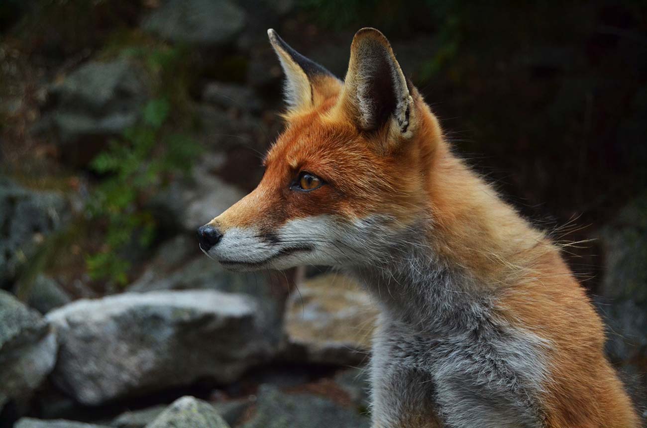
Yes. Koalas, rosellas, honeyeaters, kangaroos and wallabies are regularly seen throughout the park.