Share on


Myponga Conservation Park & Sugarloaf Hill


Myponga Conservation Park and Sugarloaf Hill is one of South Australia's most underrated hiking destinations, located on the northern Fleurieu Peninsula approximately 60 kilometres south of Adelaide. Combining panoramic ridgeline views, native bushland, granite outcrops and the picturesque Myponga Reservoir, the area offers a rewarding hiking experience without the crowds found on more famous Adelaide Hills trails.
The signature walk follows the Heysen Trail as it climbs steadily toward Sugarloaf Hill, rewarding hikers with sweeping views across the Fleurieu Peninsula, Gulf St Vincent and the surrounding rural landscape. The ascent is challenging but manageable, with open ridgelines and elevated viewpoints providing some of the most impressive scenery in the region.
Beyond Sugarloaf Hill, the trail enters Myponga Conservation Park where walkers pass through protected bushland featuring messmate stringybark forest, yacca-covered hillsides and distinctive granite formations. The park feels remote and peaceful despite its accessibility from Adelaide, making it a favourite among experienced hikers seeking quieter trails.
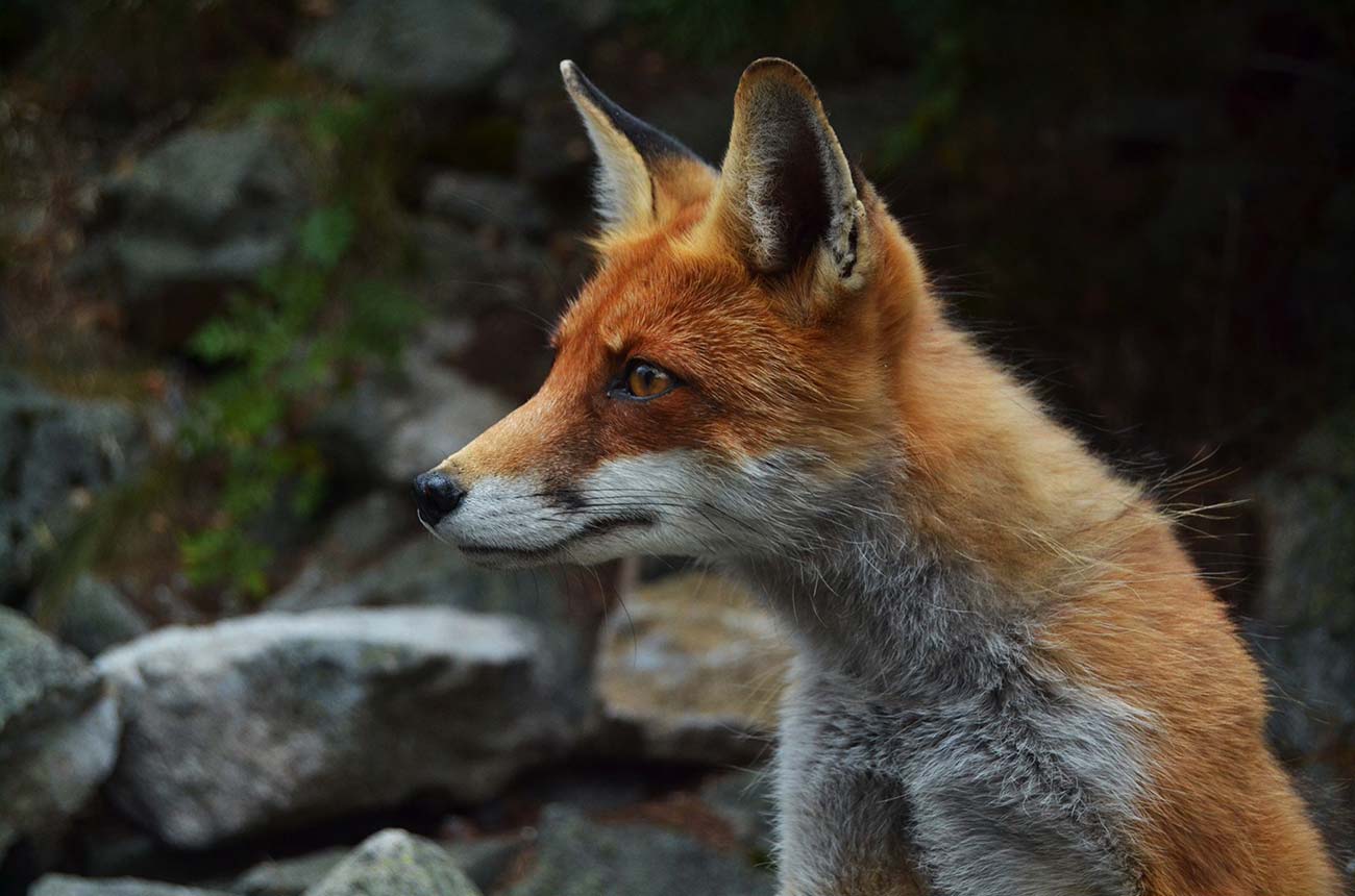
Many visitors combine the Sugarloaf Hill walk with the Myponga Reservoir Loop, a scenic 7.7-kilometre circuit that follows the edge of the reservoir through rolling forest and open grassland. Kangaroos are frequently seen grazing near the waterline, while the reservoir lookout provides one of the best vantage points in the district.
Adding to the appeal is the area's rich history. The Myponga Reservoir, completed in 1962, submerged the former farming settlement of Lovely Valley beneath its waters, creating one of the Fleurieu Peninsula's more unusual local stories. Today, the combination of history, wildlife, scenic viewpoints and peaceful trails makes Myponga one of South Australia's hidden hiking gems.
Practical Information
Address:

Vibes
Run Surface
Distance:
Difficultly Level
Terrain:
Elevation:
Safety rating:
Important Notes
• Spring offers the best hiking conditions, with wildflowers in bloom and the reservoir at its highest levels.
• The Sugarloaf Hill climb is exposed and can become hot during summer.
• Carry sufficient water, particularly on the conservation park and Heysen Trail sections.
• The reservoir loop is family-friendly, while Sugarloaf Hill is better suited to hikers with moderate fitness.
• Kangaroos are commonly seen around the reservoir, especially in the late afternoon.
• Dogs may be permitted on reservoir trails but are not permitted within the conservation park.
• Check park alerts and fire danger ratings before visiting.
FAQs
How difficult is the Sugarloaf Hill hike?
The Sugarloaf Hill walk is rated moderate (3/5), with a steep climb followed by rolling ridgeline terrain.
Can I combine the hike with the reservoir walk?
Yes. Many visitors complete the Sugarloaf Hill walk and the Myponga Reservoir Loop on the same day.
When is the best time to visit?
Spring and autumn provide the most comfortable temperatures and best scenery.
Is Myponga suitable for families?
The reservoir loop is ideal for families, while the Sugarloaf Hill section is better suited to older children and adults with reasonable fitness.